CosmasIndicopleustes

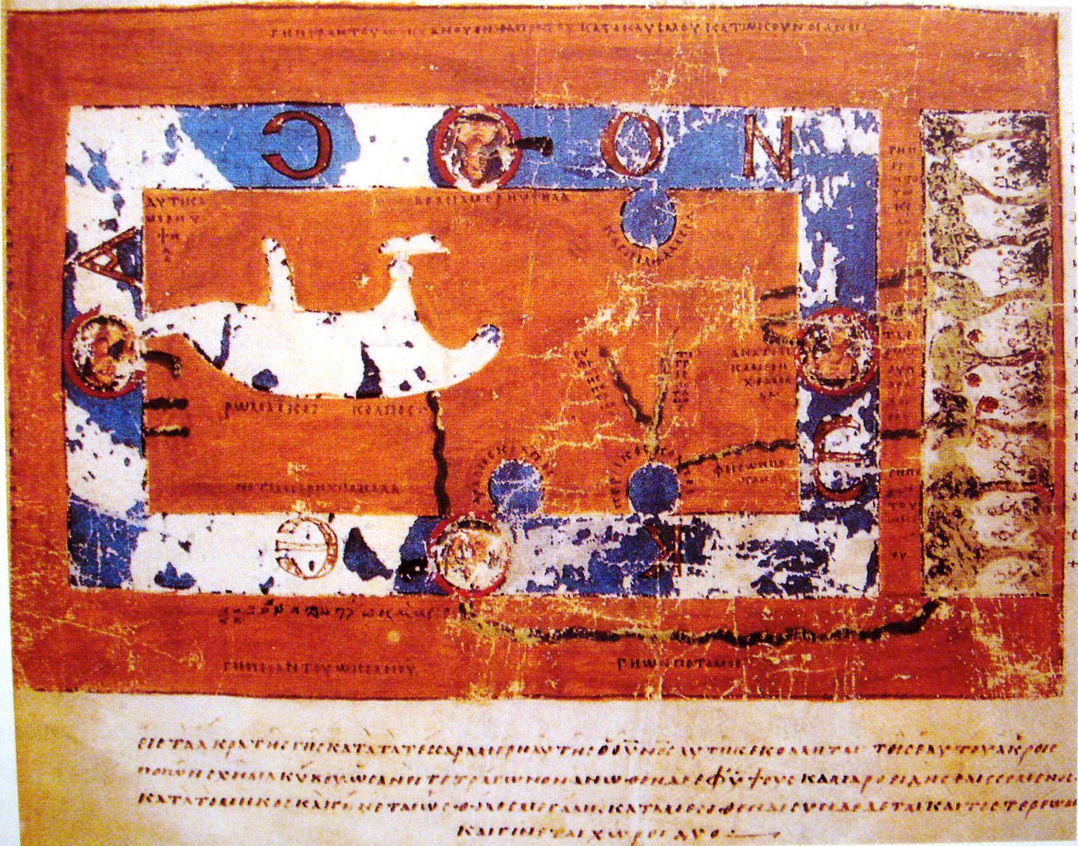
• Cosmas Indicopleustes’ “Christian Topography”, around 540 AD, from a 9th century manuscript called Vaticanus Graecus 699 (0.23 x 0.32 m). (Wikipedia)

By Arthur DE GRAAUW

I am a French/Dutch coastal engineer with extensive experience in the Mediterranean area. I compiled a list of ancient ports and harbours with latitude/longitude positioning, based on ancient and modern authors. My catalogue of ancient coastal settlements, ports and harbours contains nearly 6,000 sites.
My interest grew to ancient port structures like quays and breakwaters including harbour silting-up, ancient ships and navigation, ancient maps and units of measure, ancient climate including sea level rise, waves, earthquakes and tsunamis.

View Archive