This section gives some information about the following aspects:
From T-O maps to Google Earth: Brief historical overview of the evolution of maps of the ancient inhabited world (oikoumene).
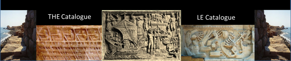
Regional maps: Ancient local maps and city maps.
Claudius Ptolemy’s Geography: Some correction factors are proposed for his latitudes and longitudes.